
“Always stay well clear of fallen powerlines and report them to emergency services on 000 – or call our 24/7 Faults Team on 13 19 62.”
The initial warning area extended from NSW border between the coast and Granite Belt, and north across the Scenic Rim, Ipswich, and Brisbane to Kilcoy.
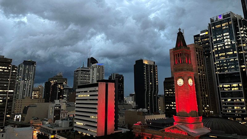
While the next general update is due to be issued by 6.25pm, one separate severe storm warning has been made by the bureau about 3.30pm for a “very dangerous” storm south of Boonah.
“A very dangerous thunderstorm likely to produce large, possibly giant hailstones and damaging, locally destructive winds was detected near Rathdowney, Laravale and Kooralbyn,” the earlier warning stated.
Senior forecaster Baden Gilbert said the risk of storms throughout the afternoon and evening extended from the coast, west to Toowoomba, and as far north as Rainbow Beach.
He said the area with the greatest risk was the south-east interior, from places such as Boonah and Beaudesert in the Scenic Rim, up through the Lockyer Valley, including areas around Ipswich, and into Kilcoy and Esk.
“There is also a risk in that area of getting some very dangerous thunderstorms, so storms that have either destructive wind gusts or giant hail are not impossible,” Gilbert said.
“If we get a really big [storm] cell going – and, you know, everything lines up – there could be a risk of heavy rainfall as well, but there’s not as much moisture around.”
The unsettled conditions are the result of a trough extending across the state’s southern interior, expected to push across the south-east late on Saturday.
The trough will move off the coast by Sunday, with the forecast also noting the potential for thunderstorms along the coastal fringe in the early morning.
Beyond this, Gilbert said the region was in for quite a dry week. After a warmer day on Saturday, he said things would cool down on Sunday but “ramp up” by week’s end.
“We could be getting, on Thursday next week, 35 [degrees] in the city; 39 out in Ipswich,” he said.